
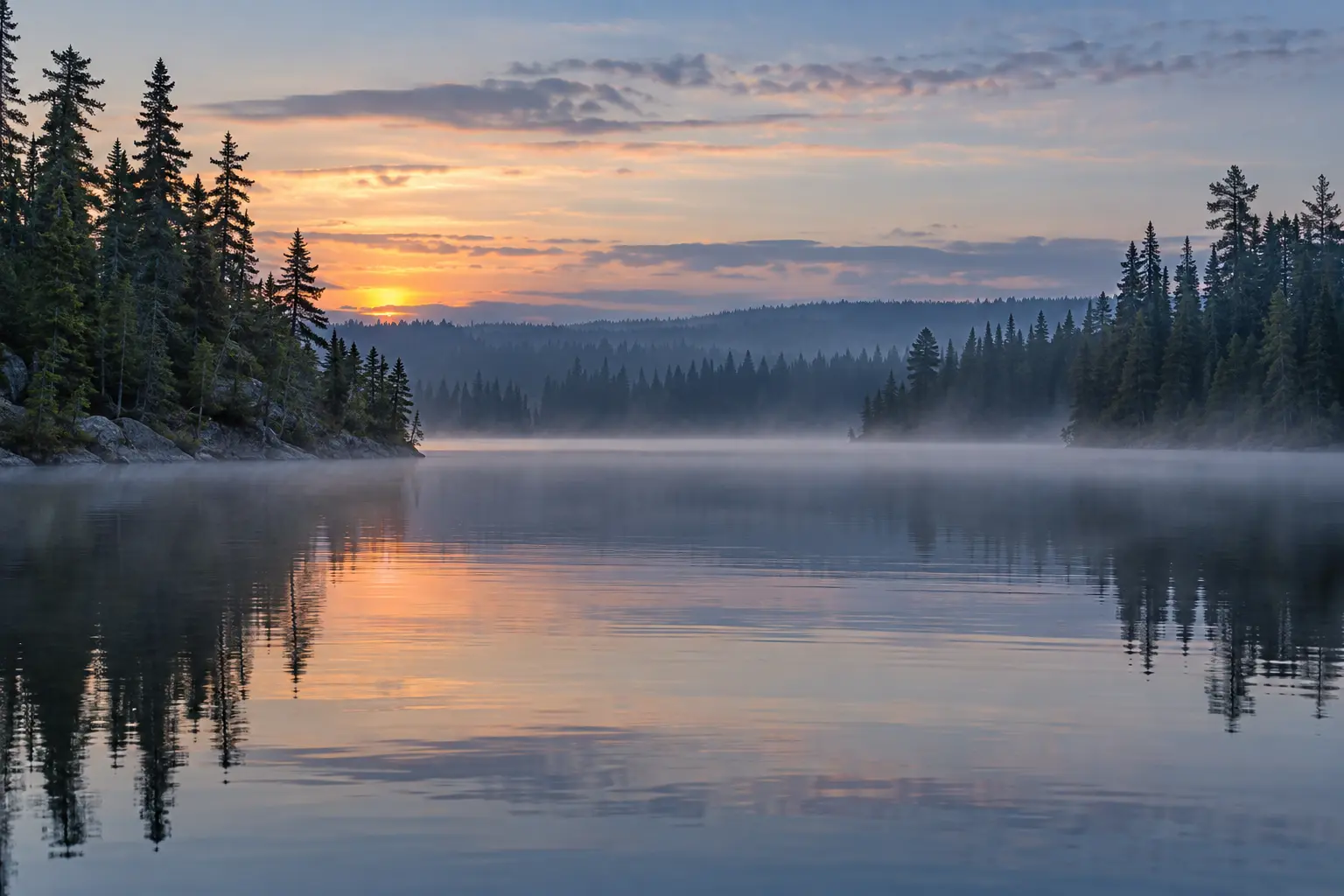
A Town Shaped by Land and Water
Chapleau sits in the heart of Northern Ontario, surrounded by forests, lakes, rivers and long stretches of Canadian Shield. Its location may seem remote on a road map, yet people have travelled through this region for a very long time. Rivers and lakes served as travel routes long before roads or rail lines reached the area. Indigenous families knew the seasons, the wildlife, the fishing places and the safe routes between watersheds. Their knowledge made life possible across a large northern territory.
Water near Chapleau flows in more than one direction. The area lies close to a major divide between waters that run north toward James Bay and waters that run south toward Lake Superior and Lake Huron. This helped make the region a meeting place between different travel routes. Canoes could carry people, food, tools, furs and news over great distances. Portages joined one waterway to another. These routes later became useful to fur traders, survey crews and railway builders.
Before the Railway
The story of Chapleau did not begin when a railway station was built. Cree and Ojibwe people had strong ties to the land long before the town appeared. Their family networks stretched across the North. They hunted, trapped, fished, gathered plants and moved with the seasons. The land was home, a source of food and a place filled with family knowledge. Today, Chapleau Cree First Nation, Chapleau Ojibwe First Nation and Brunswick House First Nation remain close neighbours of the township.
During the fur trade, Indigenous trappers and guides supplied furs and knowledge to trading posts. The trade linked the region with larger markets, but it also brought disease, outside control and major changes to older ways of life. The Hudson's Bay Company later ran a post near the rail line. The railway made it easier to ship goods, yet the older canoe routes and family ties did not vanish. They remained part of life in the area.
A railway and trading-post connection
The Railway Town Begins
In 1885, the Canadian Pacific Railway reached the area while building its line across Canada. The company chose Chapleau as a divisional point. Trains needed places where crews could change, engines could be serviced and railway work could be managed. That choice gave the new settlement steady work and a reason to grow. Houses, stores, hotels, churches and public services soon appeared near the tracks.
The town took the name Chapleau in honour of Sir Joseph Adolphe Chapleau, a Quebec lawyer, journalist and political leader. Chapleau became an incorporated township in 1901. For many families, the railway was more than an employer. It set the daily rhythm of the town. Whistles, shift changes, arrivals and departures became common sounds. Passenger trains brought visitors and mail. Freight trains carried supplies in and forest products out.
Forests Work and Family Life
The forest became the other great source of work. Logging camps drew workers from Chapleau, Quebec and other parts of Canada. Trees were cut, moved to mills and shipped by rail. In the early years, much of the work was done with axes, crosscut saws, horses and river drives. Later, trucks and heavy machines changed the job. The work was hard and often dangerous, but it paid wages and supported local shops and services.
Chapleau grew through the work of many groups. First Nation, French Canadian, English speaking, Métis and immigrant families all added to local life. People built schools, places of worship, clubs, sports teams and small businesses. French and English could be heard on the streets and in local homes. Northern distance also encouraged people to help one another. A broken machine, a house fire or a winter storm could quickly become a shared concern.
Chapleau Today
The railway and forestry have changed over time, but both still help explain Chapleau. The town remains a rail point on the main line, and the forest is still part of the local economy. The Chapleau Crown Game Preserve, created in 1925, also shaped the region. Its huge protected area placed limits on hunting and trapping inside its borders. Those rules had serious effects on Indigenous families whose lands and food systems were tied to the same area.
Visitors can see parts of the town's past at the Chapleau Centennial Museum and beside the large steam locomotive displayed near Elm Street. Old photographs, family records and buildings also keep local memory alive. Chapleau is best understood as a place with several connected stories. Indigenous history, the fur trade, rail work, forestry, French and English settlement, and daily northern life all belong in the picture.
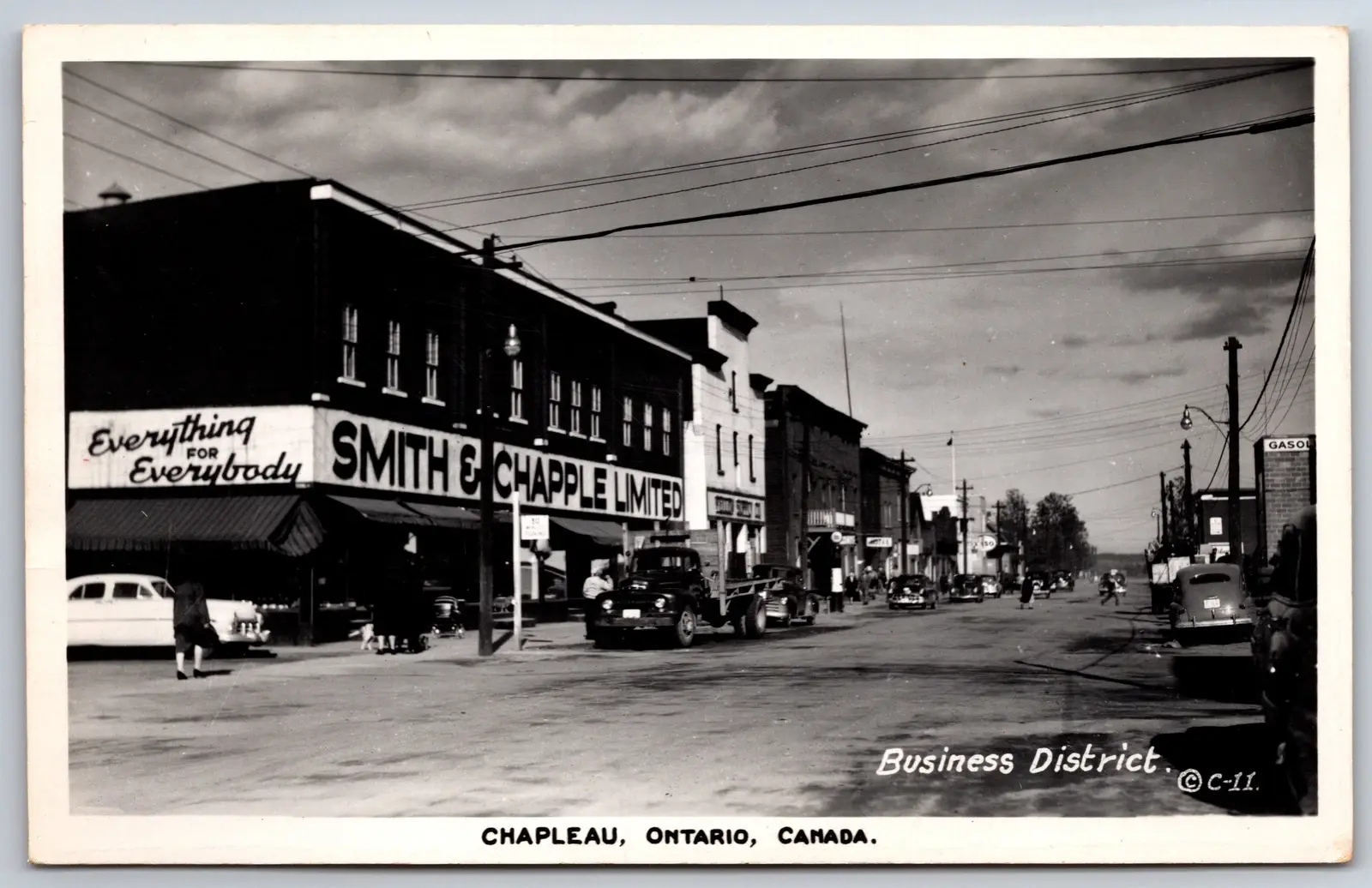
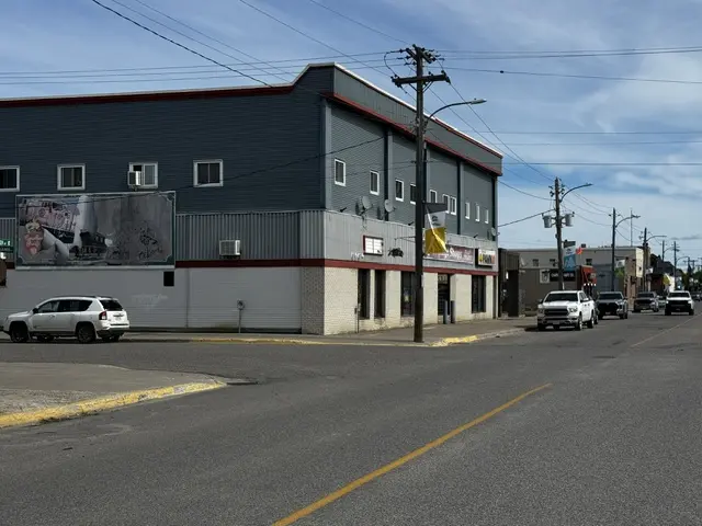
Main Street: 1950 and Today
Move the vertical slider to compare Chapleau’s business district in 1950 with the street today.
 Today
1950
Why This Story Matters
Chapleau is a small town, but its past touches many of the main stories of Northern Ontario. It shows how the railway changed settlement, how forests supported wage work and how small towns built services far from major cities. It also shows why history must begin before settler industries arrived. The First Peoples of the region were never simply part of the background. Their lands, labour and knowledge made later travel and trade possible.
Learning the town's story can change the way a visitor sees an ordinary street or passing train. The tracks point to national railway building. A bush road points to logging and fire. French words point to families who came for forest work. First Nation communities point to older homelands and present day leadership. Chapleau's story lives in these connections, not in one date or one industry alone.
Reading Chapleau as a whole
A photograph of a train station, a canoe route and a logging camp may seem to tell separate stories. In Chapleau, they overlap. Waterways made movement possible before the railway; rail carried supplies and timber; roads later opened other routes into the forest. Each new way of travelling changed where people worked, shopped and visited. None erased the connections that were already here.
The town is also more than its old industries. Its First Nations neighbours, francophone residents and Métis families are part of the area today. A visitor who starts with the museum and then reads about treaty lands, local languages and the preserve gets a fuller view of Chapleau than any single monument can give. The pages that follow take those stories one at a time, while showing where they meet.
Local references: Township of Chapleau visitor information.
Chapleau Questions
Where is Chapleau Ontario
Chapleau is a Northern Ontario community located between Timmins and Wawa along Highway 101.
Why did Chapleau grow as a town
The Canadian Pacific Railway chose Chapleau as a divisional point in 1885. Railway and forestry work helped the town grow.
What is the Chapleau Crown Game Preserve
Created in 1925, the preserve covers about 7,000 square kilometres around Chapleau and has a long wildlife and First Nation history.