
A Vast Protected Area
The Chapleau Crown Game Preserve was created by Ontario in 1925. It covers about 7,000 square kilometres, or roughly 700,000 hectares, of forest, lakes and rivers. It is often described as one of the largest protected game areas of its kind. Rail lines and waterways helped set its early boundaries.
The preserve was created during a time of concern about falling wildlife numbers. Commercial hunting and trapping, changing land use and better transport had placed pressure on animal populations. The government response was to close a very large area to hunting and trapping. The plan aimed to give wildlife a place to recover and spread into nearby lands.
Wildlife Protection
Moose, black bears, wolves, beavers, martens and many other animals live within the preserve. Lakes and rivers support fish, birds and wetland life. Because hunting and trapping were restricted, the area gained a public image as a wildlife refuge. Researchers and visitors became interested in seeing animals in a large northern setting.
Protection on paper did not remove every risk. Forest fire, disease, severe winters and changes in food can still affect wildlife. Roads and forestry work can change habitat. Rules also require enforcement across a very large region. Good wildlife care depends on field knowledge, long records and the people who spend time on the land.
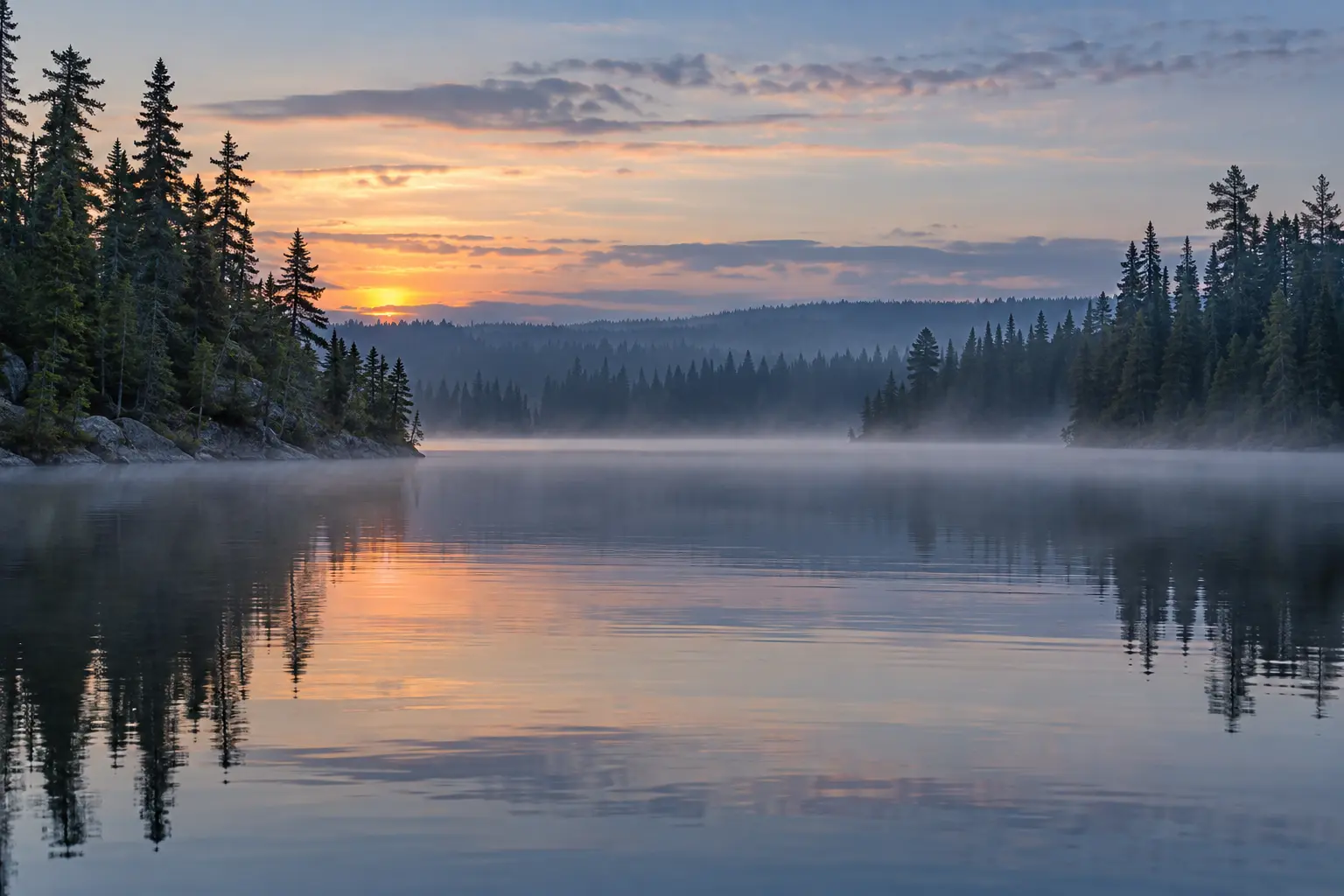
The preserve's size
Land Already in Use
The preserve was not empty land. First Nation families had used the region for hunting, trapping, fishing, travel and family camps for generations. These activities provided food, clothing and income. They also carried teachings and duties passed from older family members to younger ones. Closing the area struck at daily life and at rights tied to the land.
Brunswick House First Nation was affected in a direct way. Its earlier reserve and family hunting lands were tied to the preserve area. Government decisions later led to land changes and moves closer to Chapleau. Chapleau Cree First Nation also describes the preserve as a place of major historical importance to its people and ancestors.
A Difficult Past
The early game laws were written and enforced by outside governments. Indigenous people had little power in those decisions. A rule meant to protect animals could still cause hunger or loss when it stopped families from using their own lands. Treaty rights and Indigenous law were not given the weight they deserved.
This history is sometimes left out of older tourism accounts. Such accounts may praise the size of the preserve without asking who paid the price for its creation. A stronger public account explains both the wildlife goal and the harm caused to First Nation families. The two facts belong on the same page.
The Preserve and Chapleau
The preserve became closely linked with Chapleau's public image. Signs, maps and local stories presented the town as a gateway to a huge northern wildlife area. Visitors came hoping to see bears, moose and other animals. The preserve helped support interest in outdoor travel and nature study.
At the same time, access can be hard. Much of the land is remote, and visitors must respect closures, private camps, First Nation lands and safety rules. Wildlife should be viewed from a safe distance. Feeding bears or other animals puts both people and animals at risk. Current regulations should always be checked before a trip.
A Better Way to Tell the Story
The future of the preserve should draw on First Nation knowledge as well as wildlife science. People who know the land can report changes in animal health, water, plants and seasonal patterns. First Nations also hold rights that are not the same as public recreation. Their role should be present in planning and public education.
The Chapleau Crown Game Preserve is both a wildlife refuge and a place with a difficult human past. Its story raises clear questions. Who makes rules for land? Whose knowledge is trusted? How can animals be protected without pushing aside the people who have cared for the area for generations? Those questions make the preserve one of the most meaningful parts of Chapleau's history.
Travel Inside the Preserve
The preserve contains few easy routes compared with its size. Rail lines, old forestry roads, waterways and bush trails provide access to some areas, while much of the land remains hard to reach. Weather can change quickly. A road that is usable in summer may be blocked by snow, washouts or forestry work at another time.
Anyone entering remote land needs proper maps, fuel, food, clothing and a way to call for help. Visitors must also know which roads are public and which places have access limits. Safe travel protects local rescue workers as well as visitors. The remote setting is a major reason wildlife has room to live, and it must be treated with care.
A protected place with a difficult history
A large protected area may look straightforward on a visitor map. Its history is less simple. Rules meant to protect animals changed how people could use places where families had hunted and trapped. The preserve therefore has both a conservation story and a story about access, food and Indigenous rights. Reading only one side leaves out people who already knew the land.
The township gives the preserve's size as 700,000 hectares. That scale makes boundaries hard to judge by eye from a road or lake. A visitor planning to hunt in the wider region should check current maps and provincial rules before setting out. Fishing has its own rules. A lodge can help explain local travel, but a visitor should still confirm the exact water and area covered by a licence.
Local references: Township game preserve information.